Made for Inland Waters
Rivers & Seas provides special functions for inland navigation
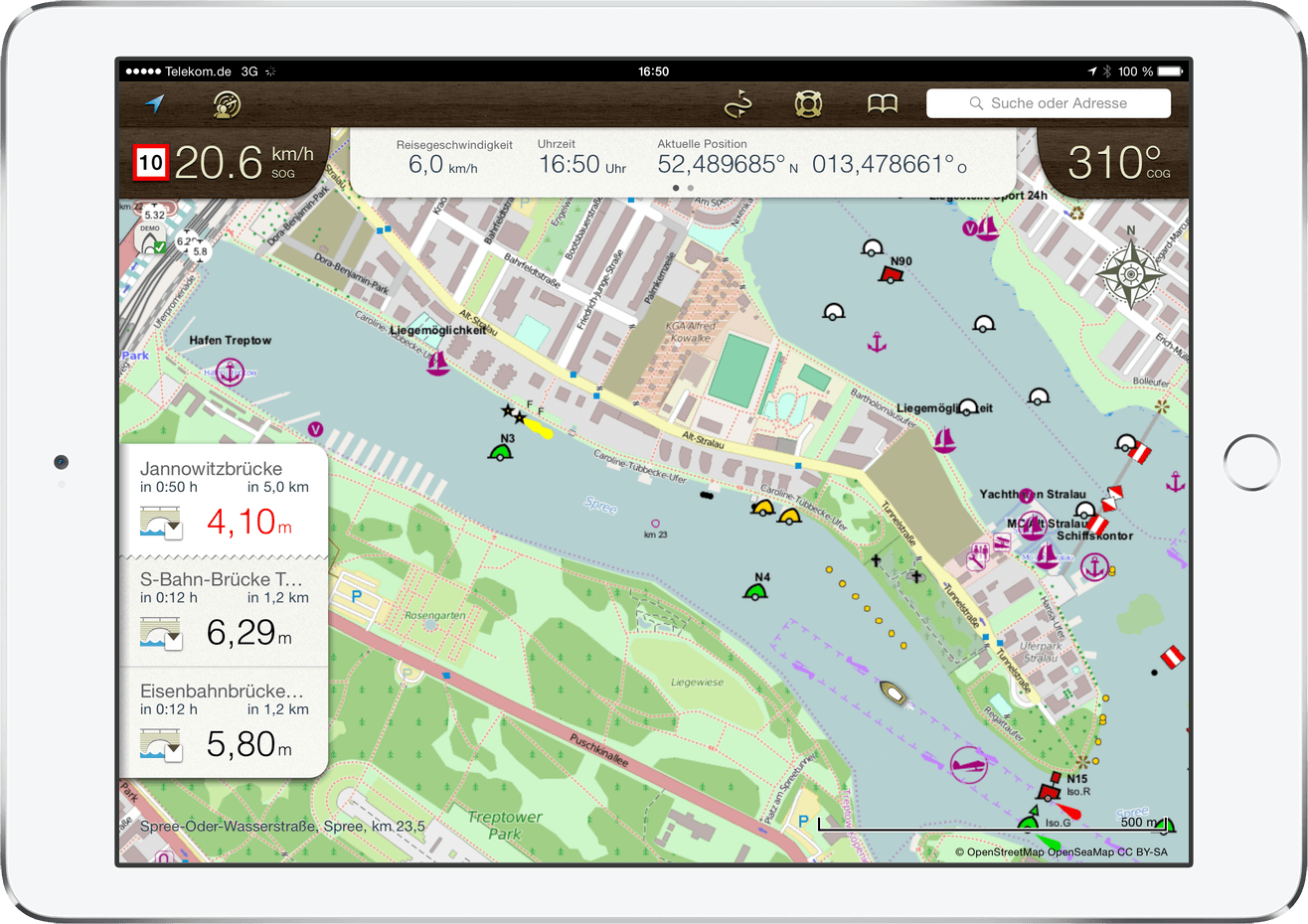
Detailed maps
Rivers, lakes and waterways with buoys, bridges and anchorages
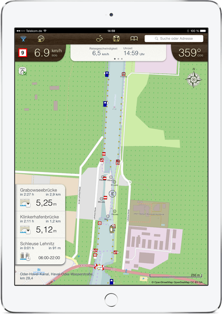
Bridge Clearance
Lists headroom of bridges ahead, gives a warning if bridge is too low
Lock Informationen
Shows phone number, VHF and opening times when approaching a lock

Speed Limits
Displays speed limits in current stretch of waterway
Distance and Travel Time
Calculates distance and travel time to bookmarks, locks and bridges
Offline Maps
Allows download of individual map areas for usage without internet on the water
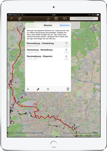
Plan Your Trip
The planning tool is made for meandering rivers, waterways and lakes chains. Simply draw a track with your finger easily, Rivers & Seas will calculate the length and travel time. On your way a red line in the map will guide you.
- Planning legs and travel times
- Mark destinations with bookmarks
- Easily note route recommendations
- Download planned routes as offline maps

Peter T.
Fly-Fahrer

Karl-Heinz Czierpka
Motorkreuzer Tremonia 2.0

Ralf S.
Potsdam
Karten für Flüsse, Seen und das Meer
Gewässerkarten für Deutschland, Niederlande, Belgien, Frankreich und die Schweiz. Prüfe hier dein Revier.
FAQs
Answers to common questions and how to get started with Rivers & Seas


